El Niño strengthens, could bring wetter winter weather to Kansas, expert says
Oct 02, 2026 | 4:05 pm ET
Description
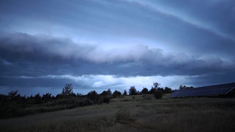
September storms dumped rain and lit up the sky near Topeka. Temperatures throughout the month were higher than normal, and some storms brought significant rainfall. (Photo by Morgan Chilson/Kansas Reflector)
TOPEKA — Kansas weather lived up to its tempestuous reputation Wednesday as the dregs of Hurricane Polo launched more than a dozen tornadoes throughout the state.
“Kansas dished out tornadoes like Santa handing out candy canes,” wrote one storm chaser who posts online as Kansas Twisters. “No idea how many there were, but I was blessed to see 10-15 today.”
Accuweather reported that about 12 tornadoes touched down, but the severe weather created dozens of additional funnels. On Thursday, heavy rains resulted in flood watches.
Recent weather has been unusual, with an “incredible run” of above normal temperatures for 37 days, as of Tuesday, said Matthew Sittel, assistant state climatologist.
In a weekly climate report, Sittel said while high temperatures during the day were about normal, night temps weren’t falling into the lows expected for September.
“The lack of chilly starts to the day at this point in the year is quite unusual and is, in some cases, unprecedented,” Sittel said.
Goodland is an example, he said. The coldest temperature through Sept. 29 was 50 degrees, whereas the normal low is 45.
“In over 130 years of climate data, there has never been a September at Goodland in which it didn’t fall into the 40s at least once,” Sittel said in the climate update. “It’s a similar story at Wichita, where 60 degrees is the coldest September temperature. This too is unprecedented.”
Sittel said that in 140 years of recordkeeping, 55 degrees is the warmest monthly minimum for September in Wichita.
Winter weather projections may be affected by El Nino, a weather event that occurs when ocean temperatures rise, shifting wind patterns. Warnings of a “super El Niño” hit over the summer, with accompanying projections about what that means for the winter climate.
Sittel said in an email to Kansas Reflector that the June, July and August average sea surface temperature was the “most above normal” for that time frame since 1950.
“This is based on a new formulation called RONI, the Relative Oceanic Niño Index,” he said. “It’s an index that considers the temperatures with respect to a normal sea surface temperature that has changed over the years. Saying that it’s the warmest ever, if true, suggests this is all due to El Niño.”
Sittel hesitates to use the term “super El Niño,” which he said was coined by the news media and has no official definition.
During an El Niño, the sea temperatures are warmer than average and, yes, it looks as if those temperatures are higher than in previous years. What does that mean for the upcoming months?
NPR reported that El Nino effects are ramping up the number of hurricanes in the Pacific and also responsible for the lack of hurricanes in the Atlantic. With no ocean in sight, what is Kansas likely to see?
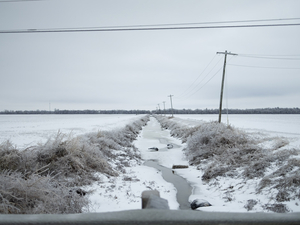
“That’s not a bad thing for Kansas,” Sittel said. “El Niño years on average have produced slightly above normal precipitation totals across Kansas during the winter months. The key here is this is an average; it’s not a guarantee that it will happen, just a tendency when all historical events are averaged.”
It is difficult to determine what will happen because there isn’t good historical data about strong El Niños, he said.
Topeka, KS