How Oregon’s state agencies adopted drones over the last decade
Jul 13, 2026 | 9:00 am ET
Description
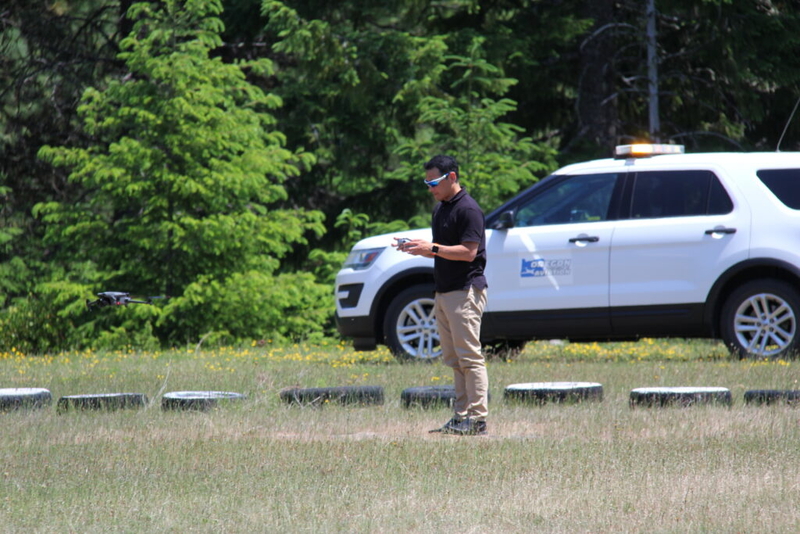
Oregon Department of Aviation director Kenji Sugahara operates a drone at the Toketee State Airport. (Photo by Oregon Department of Aviation)
When Oregon lawmakers in 2013 passed a law establishing some of the state’s earliest guidelines for public drone usage, not a single state or local agency was using drones.
The law prohibited the use of armed drones and restricted their use in law enforcement surveillance to cases involving a search warrant or life-threatening emergencies, such as search and rescue situations. It also required the Oregon Department of Aviation in 2016 to establish a registry of every public agency’s drone.
Since then, public use drones have become a part of everyday operations for public safety, wildfire mitigation and infrastructure repair.
The aviation agency has registered a total of 1,172 public drones in its system, with 690 remaining active. Most registered drones come from cities and counties. State agencies make up about one-third of registered drones.
State Police use most drones of any state agency
Oregon State Police has the most drones of any state agency, with 66 registered in the aviation department’s database as of late June.
The most common reason state police deploy drones is to document evidence from car crashes that can be used in court, said Sgt. William Bush, who in 2016 became the agency’s first drone pilot.
“Every minute that we can save in documenting a scene and getting those roadways open, we save ourselves the probability that those secondary crashes occur,” Bush said in a phone interview.
Drones also help state police during special operations, for instance by showing them if there’s a gap in the perimeter during pursuits.
“In other scenarios, we’re able to get close to vehicles in vehicle standoffs to see whether or not the suspect is armed or if they’re actively making threats with any form of weapon, which can kind of just help us adjust the temperature with which we’re dealing with it,” he said.
The agency has deployed 660 flights this year as of early July.
Lawmakers in 2025 tried to update the regulations so law enforcement could use drones without warrants for broader emergencies, but the bill died in the committee process, much to Bush’s disappointment.
Despite local law enforcements supporting the bill, it faced intense opposition from political advocacy groups such as the American Civil Liberties Union of Oregon and the farmworkers union Pineros y Campesinos Unidos del Noroeste, or PCUN, who cited concerns about potential surveillance abuse, particularly for marginalized communities.
About 97% of the 1,100 letters sent to lawmakers of testimony were in opposition.
“As a private citizen, I’m equally concerned about maintaining my privacy at all times,” Bush said. “However, when it comes to law enforcement, we’re really only using these things to do the very best we can to keep ourselves, the general public and suspects safe.”
Saving money and keeping crews safe
Behind Oregon State Police, Oregon’s forestry, transportation and fish and wildlife departments make up the top drone users among state agencies.
At the Oregon Department of Forestry, it’s hard to find a part of the agency that doesn’t use drones, said Cole Lindsay, the agency’s northwest area aviation coordinator.
Since the agency began its drone program in 2017, it has used drones to monitor wildfires and buildings, detect invasive species and conduct tree counts.
Lindsay said drones don’t replace workers, but build efficiency.
“People are valuable and people are expensive, and we don’t want anybody to be wasting any time or to get hurt,” he said. “And so there’s many times where you can arrive on the scene of a fire or to a job site out in the woods and be able to launch a drone and get an idea what is happening around you much better than you would without it.”
Dozens of survey, maintenance and geology staff also use drones at the Oregon Department of Transportation to monitor landslides and map difficult-to-reach areas. The agency deployed drones 770 times in 2025.
Meanwhile, the Oregon Department of Fish and Wildlife uses drones to focus on habitat and vegetation and wildlife counts, tracking everything from seals and sea lions to nesting birds and elk. The agency conducted 402 drone flights in 2025.
“The drone aerial view provides better data than boat surveys that is cheaper, safer and easier to deploy than occupied aircraft,” said agency spokesperson Michelle Dennehy.
Salem, OR